- Uses one solution to work with all of your data types
- Features a complete suite of analysis tools
- Customizable to meet your project needs
- Reads and analyzes different data formats
- Fuses multiple data modalities
- Exploits information from different sensor types
- Easily processes large data sets
- Tools based on proven scientific methods, making image analysis accessible to users of all experience levels

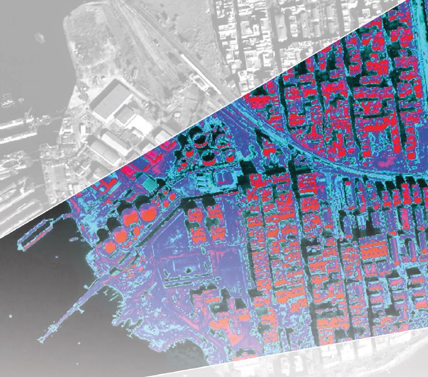
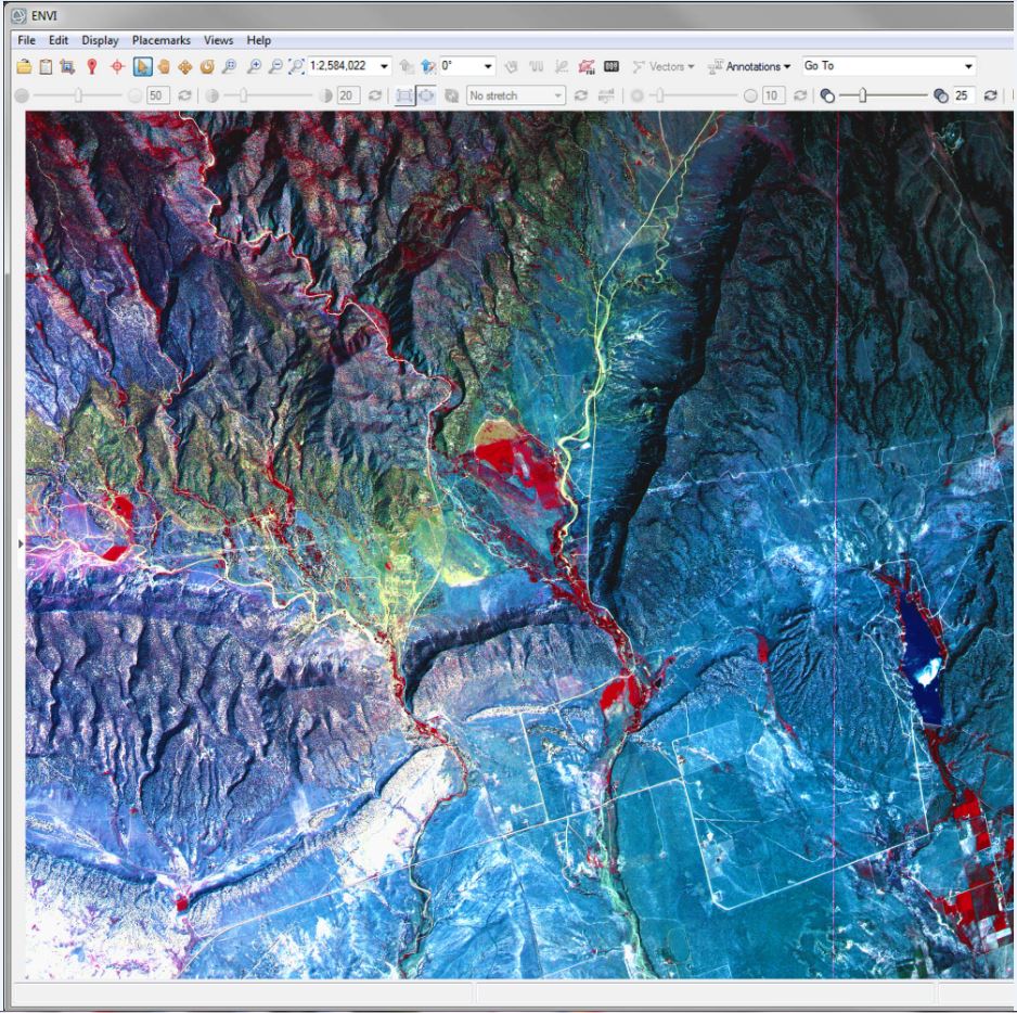
ENVI software developed by Harris Geospatial is the industry standard data analysis software. As the image analysis software of choice for image scientists, image analysts, and GIS professionals, it allows for efficient extraction of accurate and meaningful information from all kinds of data.
ENVI is designed to be used by anyone who relies on imagery and data to make decisions. It delivers expert-level results across the board, regardless of a user's prior experience with imagery.
ENVI is a flexible solution that can be customized to meet specific project needs and can be deployed and accessed from the desktop, in the cloud, and on mobile devices. Fully integrated with ArcGIS for Desktop and ArcGIS for Server from Esri, users can access ENVI tools directly within the Arc environment to add image analysis capabilities to their GIS models and applications.

ENVI supports imagery from today's newest and most popular satellite and airborne sensors, including multispectral, hyperspectral, panchromatic, LiDAR, infrared, thermal, radar, HDF5, full-motion video, LAZ, ASCII and NET CDF-4. ENVI includes a comprehensive suite of image analysis tools that allow customers to access proven algorithms to quickly, easily and accurately analyze imagery.
Contact Us for more information on ENVI!
